
Green Energy For
Sustainable Development
Maataa Energy Limited is the SPV incorporated to develop the 5MW Atari II Small Hydropower Project (Atari II SHPP).
Pre-Qualification Documents
About Maataa Energy
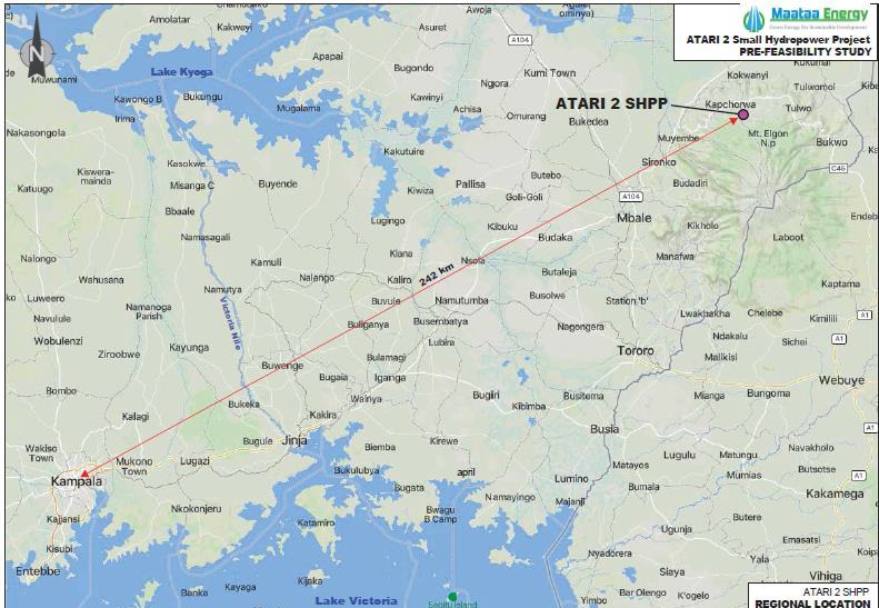
Maataa Energy Limited, a Special Purpose Vehicle (SPV) established to undertake the full development cycle of the Atari II small hydropower project. The project seeks to harness the hydraulic potential of Atari River, which cascades from the slopes of Mount Elgon, to generate renewable energy and contribute to Uganda’s electricity supply mix, rural electrification, and socio-economic development in the region.
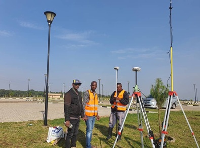
In accordance with the Electricity Act of Uganda and following a successful application process, Electricity Regulatory Authority (ERA) granted Maataa Energy Limited a Study Permit to undertake detailed feasibility studies for Atari 2 SHP. The permit, issued on June 21, 2024, allows to carryout technical, environmental, and socio economic investigations for design and development of the project.
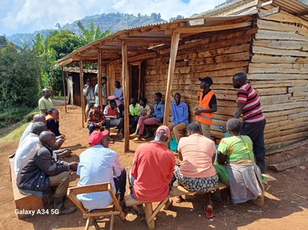
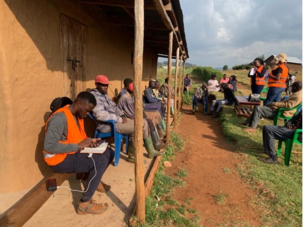
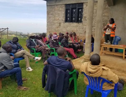
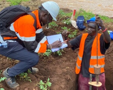
Maataa is dedicated to advancing this project while engaging in community and environmental stewardship
Atari II Small HydroPower 5MW Project
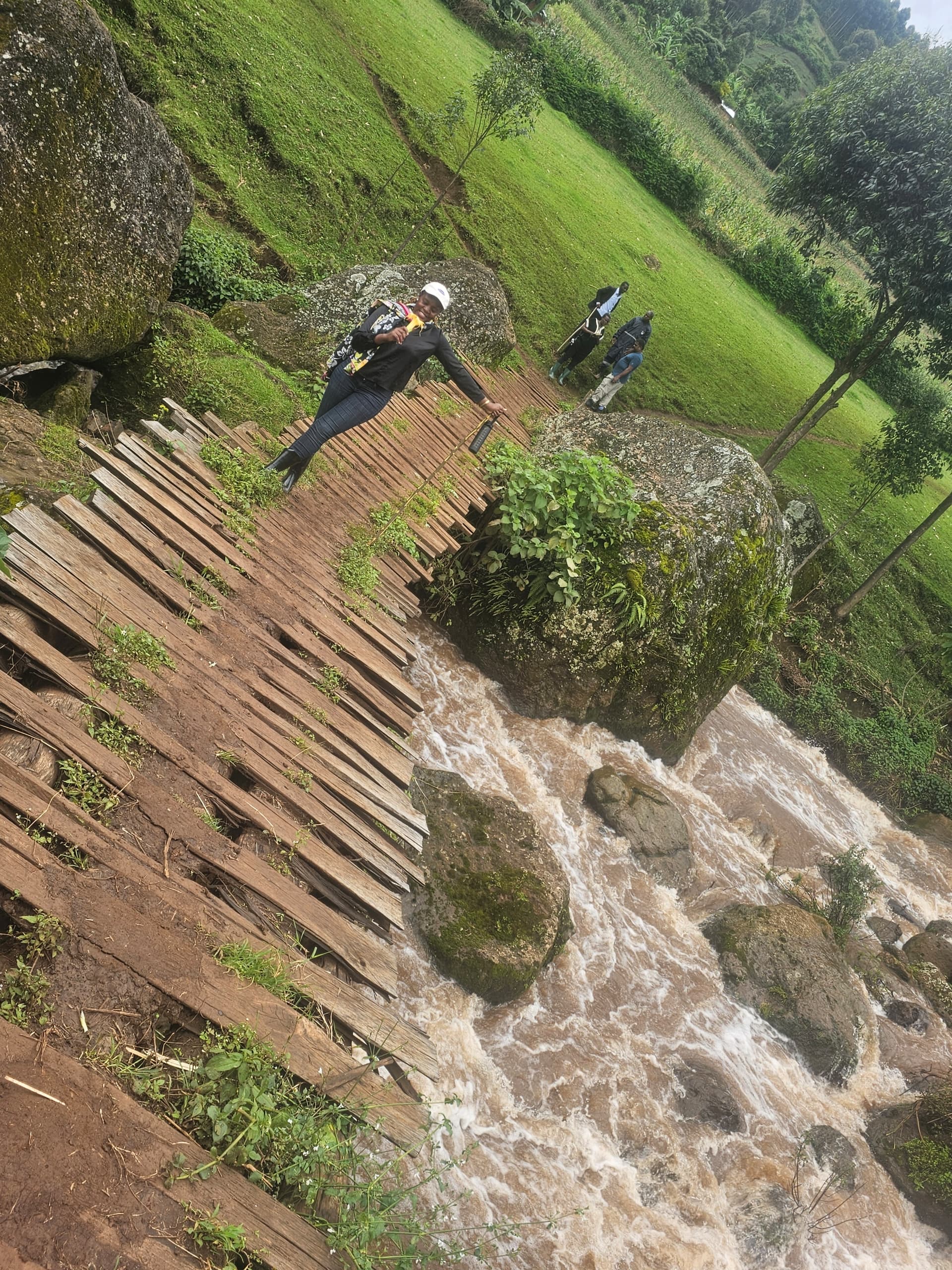
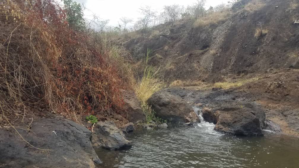
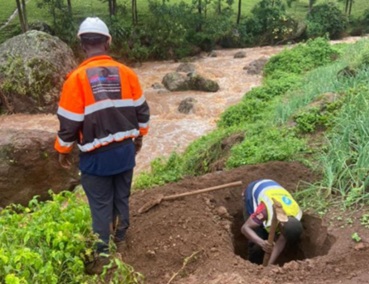
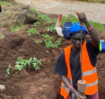
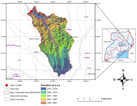
Atari 2 Small Hydropower Project (SHP) is a run-of-the-river, low flow and high head scheme located on River Atari in Kapnoipei and Ngoroywo villages, Teryet Parish, East Division, Kapchorwa District, in Eastern Uganda. The project harnesses renewable energy from
River Atari flowing from the slopes of Mount Elgon, supporting Uganda’s clean energy mix, rural electrification, and community development.
Description of the Project
The Atari 2 Small Hydropower Project (ASHPP) is located in eastern Uganda on the north-west side of Mt Elgon:
- Kapnoipei, Ngoroywo Village, and national park
- Mulungwa, Teryet, Tambajja and Kaplak Parishes,
- Benet and Kapchorwa East divison Sub-county,
- Kapchorwa and Kween District
Kapchorwa District is bordered by Kween District to the east, north-east and south, and bordered by Bulumbuli District to the west and north. Kapchorwa (city) is 68 km away from Mbale (city), which is the largest metropolitan area in the sub-region.
Network of the Project
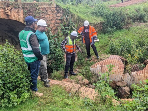
Below is a brief description of the existing infrastructure within the project area:
- A 33kV line runs from Mbale to a newly constructed Sironko 33kV Switching station from where a 33kV line to Kapchorwa (ACSR 150sqmm) is connected. The Kachumbala-Kapchorwa line meets the Sironko-Nakapiripiriti line at Sironko switching Station.
- The Siti 1 (6.5MW) hydropower plant interconnects with the Kapchorwa-Sironko switching station 33kV line.
- At the Sironko switching station tee-off, a 33kV ACSR 50sqmm line runs to Kumi. From Kumi, a 75sqmm ACSR line runs to the Opuyo UETCL primary substation.
- A 33kV Sironko-Nakapiripiriti AAAC100 line interconnecting with the Kachumbala-Kapchorwa line near Sipi has recently been commissioned by REA.
- A new 33kV line runs from Kapchorwa to the Suam Boarder town supplying all sizeable load centers along the way.
- A new 33kV double circuit line (one circuit was strung) evacuates Siti 2 SHPP in the Kapchorwa environs to Mbale Industrial Substation.
- UETCL has planned to construct 132/33kV substations at Bulambuli and Kapterol.
Technical Parameters
The technical concept for Atari 2 SHPP project is a run-of-the river, high-head scheme, working in parallel operation mode with the national grid, generating base load power. Based on the determined design flow for the scheme of 1.8 m³/s the production key data resulted in 5 MW installed capacity, 26.4 GWh annual power production and a plant factor of 60.4%. The total implementation period, including design and procurement, can be expected in the range of roughly 3 years.
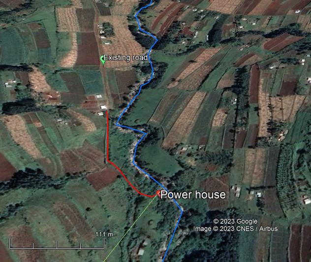
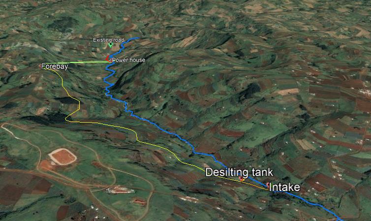
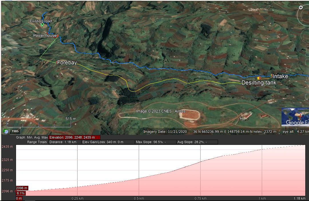
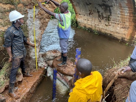
The proposed Atari 2 SHP project is designed as a high-head, low-flow system, involving major infrastructure components such as a weir, intake, desilting tank, headrace canal, forebay tank, penstock, powerhouse, tailrace, and access roads.
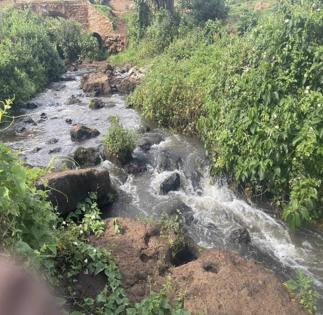
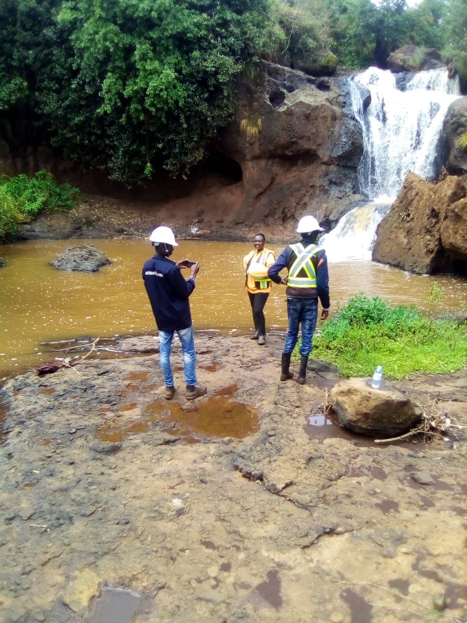
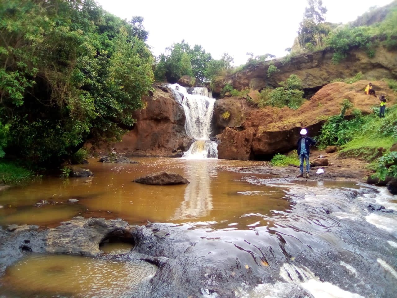
The Atari 2 SHPP project will utilize the hydraulic potential of the water flow of the River Atari for power generation. This is typically a non-consumptive use of water. The Atari 2 SHPP project area is located around the River Atari section where the river forms a waterfall, going down the cliff from the last elevated plateau of Mt. Elgon down to the plains which are heading west to Lake Kyoga.
The intake weir structure will be above of the waterfall close to the edge of the ridge. No fish pass is planned, since the River Atari water fall is a natural barrier impeding upstream fish migration.
On the orographic left side of the Atari River adjacent to the intake a sand trap/ Desander will be built. Water will convey through a 150.32m long Headrace PIPELINE of 1000mmø PN-4 HDPE pipes-01 (HRC-01) to the Desilting basin (Desander). From the Desander, the 2320m long head race canal (HRC-02) conveys water at approximately elevation 2435m.a.s.L to the Forebay. Flow is then delivered to the power house through continuous buried penstock with a total length of approx. 1020m and a diameter of 560mm which bifurcates down to the powerhouse.
Environmental & Social parameters
The annual generation is estimated to be 26.4 GWh and this would result in a saving of 11,265 Tonnes of CO2 emissions. The capacity factor which, (in Uganda) is probably around 0.12 (that is 12%).